| Survey
and Cartography Section of the National Speleological Society |
| Survey
and Cartography Section of the National Speleological Society |
| Home | Contacts |
Meetings |
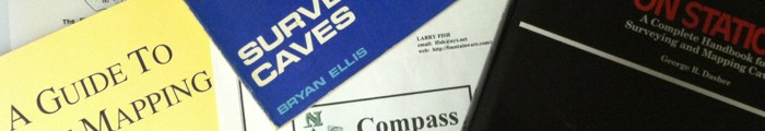
Compass
& Tape |
Cartographic Salon |
Resources |
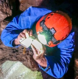 Cave surveying, and caving in general, is
undergoing a
technological revolution. SACS member Derek Bristol has created
has created a Web site with information and instructional videos for
several aspects of caving, including cave surveying and mapping,
vertical caving techniques, and cave photography. His Web site is
www.derekbristol.com
and is well worth checking out.
Cave surveying, and caving in general, is
undergoing a
technological revolution. SACS member Derek Bristol has created
has created a Web site with information and instructional videos for
several aspects of caving, including cave surveying and mapping,
vertical caving techniques, and cave photography. His Web site is
www.derekbristol.com
and is well worth checking out.